


 Λογαριασμός
 Βιβλία 
Παιχνίδια
Χαρτικά


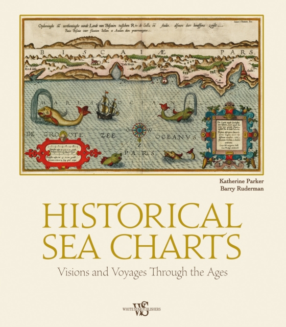
Historical Sea Charts
Historical Sea Charts

Barcode
9788854417168
Δραστηριότητα
Βιβλία
Οικογένεια
HUMANITIES
Ομάδα
HISTORY
Κατασκευαστής
White Star
Ημερομηνία έκδοσης
2023-10-17
Χώρα
Italy
Περιγραφή
Περιγραφή
This book shows the history of charts and nautical maps from the earliest known examples to the one used in the Twentieth Century, with a special focus on the map makers and the methods of use from 1300 to 1900.
Σχετικά προϊόντα
Σχετικά προϊόντα
Προϊόντα White Star
Προϊόντα White Star

Εκπτωτικά κουπόνια
για τα μέλη μας

Ασφαλείς συναλλαγές
κρυπτογραφημένες υπηρεσίες

Άμεση αποστολή
Καταχωρηση της παραγγελίας
...την εκτέλεσή της
...την αποστολή της
ΥΠΟΣΤΗΡΙΞΗ
ΥΠΟΣΤΗΡΙΞΗ
Επικοινωνία
Στοιχεία επικοινωνίας
Στοιχεία επικοινωνίας
Συμμετρία Α.Ε.
Στ. Τσαλαβούτα 3, Τ.Κ. 12131, Αθήνα - Ελλάδα
Τηλέφωνο:
211 10 41974
Email:
[email protected]

Toybox © 2023 https://www.toybox.gr. All rights reserved.
powered by
 engine
🛠20221010.210714
engine
🛠20221010.210714