


 Λογαριασμός
 Βιβλία 
Παιχνίδια
Χαρτικά


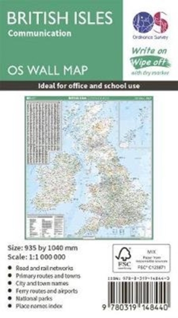
British Isles Communication


Barcode
9780319148440
Δραστηριότητα
Βιβλία
Οικογένεια
EARTH SCIENCES, GEOG RAPHY, ENVIRONMENT, PLANNING
Ομάδα
GEOGRAPHY
Κατασκευαστής
Ordnance Survey
Ημερομηνία έκδοσης
2019-05-08
Χώρα
United Kingdom
Περιγραφή
This map shows the British isles, with all the major road, rail and sea connections. It is supplied rolled in a tube and is ideal for schools, students or just for decoration. It includes an index of place names. This map is gloss coated, so can be written on with suitable dry-wipe pens. It's scale is 1: 1 000 000
Σχετικά προϊόντα

Προϊόντα Ordnance Survey
Διαθέσιμο από 4 έως 10 ημέρες
20.94€
Διαθέσιμο από 4 έως 10 ημέρες
16.01€

Εκπτωτικά κουπόνια
για τα μέλη μας

Ασφαλείς συναλλαγές
κρυπτογραφημένες υπηρεσίες

Άμεση αποστολή
Καταχωρηση της παραγγελίας
...την εκτέλεσή της
...την αποστολή της
ΥΠΟΣΤΗΡΙΞΗ
ΥΠΟΣΤΗΡΙΞΗ
Επικοινωνία
Στοιχεία επικοινωνίας
Στοιχεία επικοινωνίας
Συμμετρία Α.Ε.
Στ. Τσαλαβούτα 3, Τ.Κ. 12131, Αθήνα - Ελλάδα
Τηλέφωνο:
211 10 41974
Email:
info@toybox.gr

powered by
 engine
🛠20221010.210714
engine
🛠20221010.210714